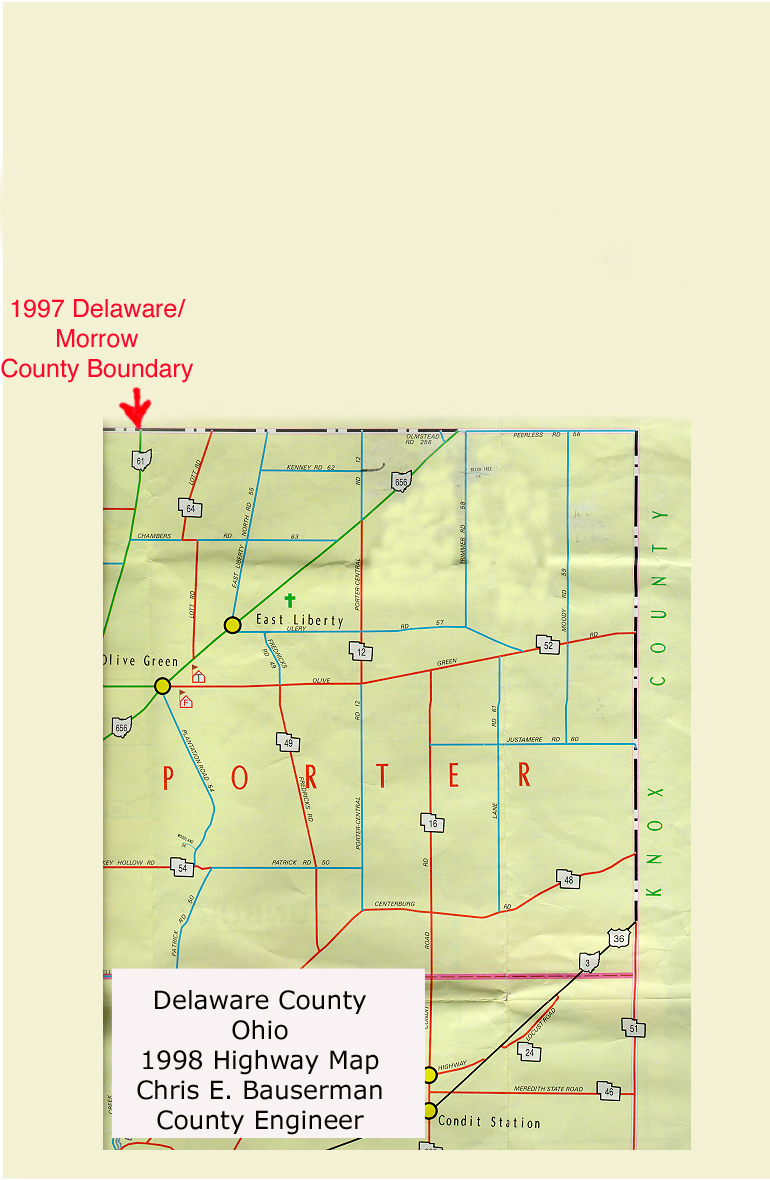
1849 & 1997 Delaware/Morrow County, Ohio Boundary maps
Move over the image to see how the Delaware/Morrow County, Ohio line has changed since 1849. Locate the Walter Dunham (#35), Albert Gillispie Kenney (#19), and Amos Leach (#33) properties. The 1997 map can be used to locate these properties today. Note: the diagonal line on the 1849 map and the present location of SR 656 are in the same location.
Contact person for this website is Susan Snyder: susanleachsnyder@gmail.com